Added GEOLOCIC MAP OF LOW WASSIE QUAD, MO to cart. View cart.


Product Details
- Product Number
- 28890
- Series
- I-2722
- Scale
- 1:24,000
- Alternate ID
- GI2722D
- ISBN
- 978-0-607-95714-3
- Authors
- HARRISON, R. W.
- Version Date
- 01/01/2000
- Regions
- MO
- Countries
- USA
- Media
- Paper
- Format
- Folded
Additional Details
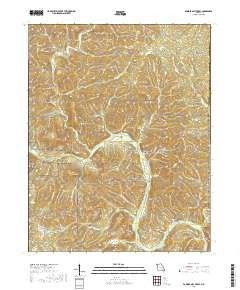
- Description
- Digital data and geologic map of the Powder Mill Ferry Quadrangle, Shannon and Reynolds counties, Missouri
- Survey Date
- 2000
- Print Date
- 2000
- Height In Inches
- 11.000
- Length In Inches
- 9.000
- Boundary Type
- Quadrangle
- Two Sided
- No
- Pieces
- 1
- Languages
- English
Related Items
Geologic Map of the Van Buren North Quadrangle, Carter, Reynolds, and Shannon Counties, Missouri
Geologic map of the Low Wassie Quadrangle, Oregon and Shannon counties, Missouri