
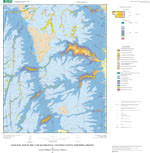

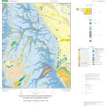
GEOLOGIC MAP OF CANE, ARIZONA
$9.00
Available

Product Details
- Product Number
- 113237
- Series
- MF-2366
- Scale
- NO SCALE
- Alternate ID
- MF-2366
- Authors
- G.H. BILLINGSLEY
- Version Date
- 01/01/2001
- Regions
- AZ
- Countries
- USA
- Media
- Paper
- Format
- Flat
Additional Details
- Description
- Geologic Map of the Cane Quadrangle, Coconino County, Northern Arizona
- Survey Date
- 2000
- Print Date
- 2000
- Height In Inches
- 31.000
- Length In Inches
- 30.500
Related Items
Geologic Map of the House Rock Quadrangle, Coconino County, Northern Arizona

Geologic Map of the House Rock Spring Quadrangle, Coconino County,Northern Arizona

Geologic Map of the Valle 30'x60' Quadrangle, Coconino County, Northern Arizona