- Added LAWRENCE, KS HISTORICAL MAP GEOPDF 30X30 to cart. View cart.
- Added COMANCHE WATERHOLE, TX to cart. View cart.
- Added REXBURG, ID HISTORICAL MAP GEOPDF 7.5X7. to cart. View cart.
- Added ACTON, CA to cart. View cart.
- Added CUBA, KY-TN HISTORICAL MAP GEOPDF 7.5X7. to cart. View cart.
- Added LIME HILLS A-2, AK to cart. View cart.
- Added RACINE SOUTH, WI to cart. View cart.
- Added BEAVER JACK MOUNTAIN, ID to cart. View cart.
- Added VALDEZ C-2 SE, AK to cart. View cart.
- Added NEW BERN, NC to cart. View cart.
- Added LEXINGTON - AEROMAGNETIC, MA to cart. View cart.
- Added MOUNT SHASTA, CA to cart. View cart.
- Added COW MOUNTAIN, CA to cart. View cart.
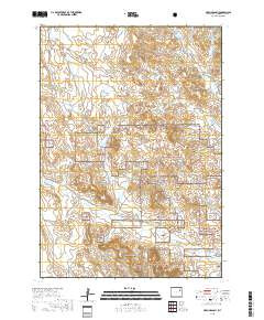
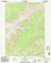
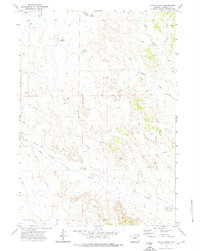
- Added OPEN CREEK, WY to cart. View cart.

Product Details
- Product Number
- 929191
- Scale
- 1:24,000
- Version Date
- 01/01/1971
- Regions
- WY
- Countries
- USA
- Media
- Paper
- Format
- Flat
- Digital Reproduction
- Yes
Additional Details
- Description
- OPEN A RANCH, WY HISTORICAL MAP GEOPDF 7.5X7.5 GRID 24000-SCALE 1971
- Survey Date
- 1971
- Print Date
- 1974
- Boundary Type
- Quadrangle
- Pieces
- 1
Related Items