
Added WARREN COUNTY, VA to cart. View cart.

Product Details
- Product Number
- 104980
- Scale
- 1:50,000
- Alternate ID
- TVA1207
- ISBN
- 978-0-607-56681-9
- Version Date
- 01/01/1987
- Regions
- VA
- Countries
- USA
- Media
- Paper
- Format
- Flat
- Digital Reproduction
- Yes
Additional Details
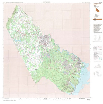
- Description
- PRINCE WILLIAM COUNTY, VA - Digitally recompiled from North and South sections into one map.
- Survey Date
- 1987
- Print Date
- 1987
- Height In Inches
- 44.000
- Length In Inches
- 44.500
- Boundary Type
- Political Unit
- Two Sided
- No
- Pieces
- 1
- Languages
- English
Related Items
