- Added MOUNT PAWTUCKAWAY, NH HISTORICAL MAP GEO to cart. View cart.
- Added POTLATCH, ID to cart. View cart.
- Added MOUNT DORA, NM to cart. View cart.
- Added WILLIAMSPORT SE, PA to cart. View cart.
- Added ARROW CREEK, MT to cart. View cart.
- Added NORTH ADAMS, MA-VT to cart. View cart.
- Added RIDGWAY, CO to cart. View cart.
- Added PHIL CAMPBELL, AL to cart. View cart.
- Added MAXVILLE, FL to cart. View cart.
- Added LITCHFIELD, CT HISTORICAL MAP GEOPDF 7.5 to cart. View cart.
- Added CHICKEN FORK, UT to cart. View cart.

Product Details
- Product Number
- 103279
- Scale
- 1:24,000
- Alternate ID
- TUT1760
- ISBN
- 978-0-607-55570-7
- Version Date
- 01/01/1991
- Regions
- UT
- Countries
- USA
- Media
- Paper
- Format
- Flat
- Digital Reproduction
- Yes
Additional Details
- Description
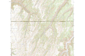
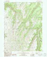
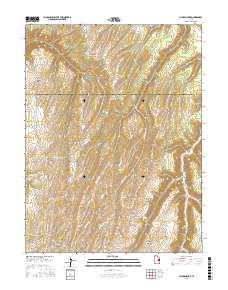
- CHICKEN FORK, UT HISTORICAL MAP GEOPDF 7.5X7.5 GRID 24000-SCALE 1991
- Survey Date
- 1991
- Print Date
- 1991
- Height In Inches
- 26.500
- Length In Inches
- 21.800
- Boundary Type
- Quadrangle
- Two Sided
- No
- Pieces
- 1
- Languages
- English
Related Items

CHICKEN FORK, UT HISTORICAL MAP GEOPDF 7.5X7.5 GRID 24000-SCALE 1991