- Added HAWLEY LAKE EAST, AZ to cart. View cart.
- Added CEDAR TREE BENCH, AZ to cart. View cart.
- Added ROCK HALL, MD to cart. View cart.
- Added CRYDER BUTTE, OR to cart. View cart.
- Added VALE WEST, OR to cart. View cart.
- Added FIELD INSTRUMENT:BERYLLIUM/ACTIVATION AN to cart. View cart.
- Added LOWELL, MA-NH HISTORICAL MAP GEOPDF 7.5X to cart. View cart.
- Added HARTWICK, NY to cart. View cart.
- Added CANE SPRINGS SE, AZ to cart. View cart.
- Added FOWLER, AZ to cart. View cart.
- Added HEDGPETH HILLS, AZ to cart. View cart.
- Added WAYLAND, MO-IA to cart. View cart.
- Added JUNIPER PEAK, NV to cart. View cart.
- Added CRATER CANYON, AZ to cart. View cart.
- Added LEMAY ISLAND, UT to cart. View cart.

Product Details
- Product Number
- 102144
- Scale
- 1:24,000
- Alternate ID
- TUT0615
- ISBN
- 978-0-607-54845-7
- Version Date
- 01/01/1991
- Regions
- UT
- Countries
- USA
- Media
- Paper
- Format
- Flat
- Digital Reproduction
- Yes
Additional Details
- Description
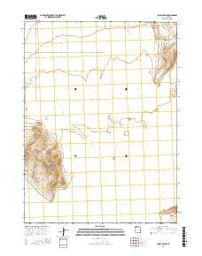
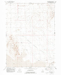
- LEMAY ISLAND, UT HISTORICAL MAP GEOPDF 7.5X7.5 GRID 24000-SCALE 1991
- Survey Date
- 1991
- Print Date
- 1992
- Height In Inches
- 26.700
- Length In Inches
- 21.800
- Boundary Type
- Quadrangle
- Two Sided
- No
- Pieces
- 1
- Languages
- English
Related Items

LEMAY ISLAND, UT HISTORICAL MAP GEOPDF 7.5X7.5 GRID 24000-SCALE 1991