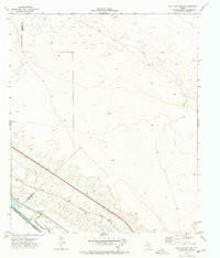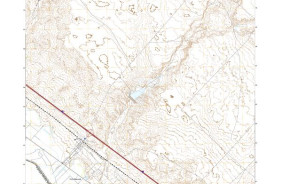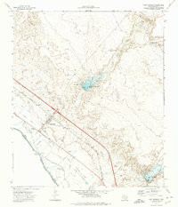

Product Details
- Product Number
- 96475
- Scale
- 1:24,000
- Alternate ID
- TTX1389
- ISBN
- 978-0-607-50920-5
- Version Date
- 01/01/1972
- Regions
- CHH, TX
- Countries
- Mexico
- Media
- Paper
- Format
- Flat
- Digital Reproduction
- Yes
Additional Details
- Description
- FORT HANCOCK, TX HISTORICAL MAP GEOPDF 7.5X7.5 GRID 24000-SCALE 1972
- Survey Date
- 1972
- Print Date
- 1974
- Height In Inches
- 27.000
- Length In Inches
- 23.200
- Boundary Type
- Quadrangle
- Two Sided
- No
- Pieces
- 1
- Languages
- English
Related Items