
Product Details
- Product Number
- 924653
- Scale
- 1:250,000
- Version Date
- 01/01/1953
- Regions
- WA
- Countries
- USA
- Media
- Paper
- Format
- Flat
- Digital Reproduction
- Yes
Additional Details
- Description
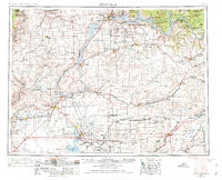
- RITZVILLE, WA HISTORICAL MAP GEOPDF 1X2 GRID 250000-SCALE 1953
- Survey Date
- 1953
- Print Date
- 1974
- Boundary Type
- Quadrangle
- Pieces
- 1
Related Items
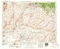
RITZVILLE, WA HISTORICAL MAP GEOPDF 1X2 GRID 250000-SCALE 1965
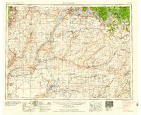
RITZVILLE, WA HISTORICAL MAP GEOPDF 1X2 GRID 250000-SCALE 1959