

Product Details
- Product Number
- 846170
- Scale
- 1:125,000
- Version Date
- 01/01/1901
- Regions
- CA
- Countries
- USA
- Media
- Paper
- Format
- Flat
- Digital Reproduction
- Yes
Additional Details
- Description
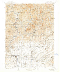
- REDDING, CA HISTORICAL MAP GEOPDF 30X30 GRID 125000-SCALE 1901
- Survey Date
- 1901
- Print Date
- 1938
- Boundary Type
- Quadrangle
- Pieces
- 1
Related Items

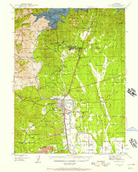
REDDING, CA HISTORICAL MAP GEOPDF 15X15 GRID 62500-SCALE 1944
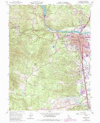
REDDING, CA HISTORICAL MAP GEOPDF 7.5X7.5 GRID 24000-SCALE 1957