
Product Details
- Product Number
- 841443
- Scale
- 1:31,680
- Version Date
- 01/01/1909
- Regions
- CA
- Countries
- USA
- Media
- Paper
- Format
- Flat
- Digital Reproduction
- Yes
Additional Details
- Description
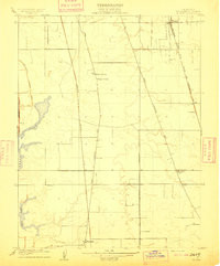
- FLORIN, CA HISTORICAL MAP GEOPDF 7.5X7.5 GRID 31680-SCALE 1909
- Survey Date
- 1909
- Print Date
- 1909
- Boundary Type
- Quadrangle
- Pieces
- 1
Related Items
FLORIN, CA HISTORICAL MAP GEOPDF 7.5X7.5 GRID 24000-SCALE 1953