

Product Details
- Product Number
- 83276
- Scale
- 1:100,000
- Alternate ID
- TNV1423
- ISBN
- 978-1-4113-3250-8
- Authors
- BLM
- Version Date
- 01/01/2011
- Regions
- NV, UT
- Countries
- USA
- Media
- Paper
- Format
- Folded
Additional Details
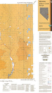
- Description
- 1:100 000 SCALE TOPOGRAPHIC MAP OF WILSON CREEK RANGE, NEVADA; SURFACE MANAGEMENT STATUS
- Survey Date
- 1998
- Print Date
- 1998
- Boundary Type
- Quadrangle
- Two Sided
- No
- Pieces
- 1
- Languages
- English
Related Items

