

Product Details
- Product Number
- 72104
- Scale
- 1:24,000
- Alternate ID
- TMT1091
- ISBN
- 978-0-607-30548-7
- Version Date
- 01/01/1980
- Regions
- MT
- Countries
- USA
- Media
- Paper
- Format
- Flat
- Digital Reproduction
- Yes
Additional Details
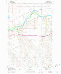
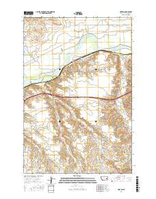
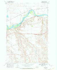
- Description
- HORTON, MT HISTORICAL MAP GEOPDF 7.5X7.5 GRID 24000-SCALE 1968
- Survey Date
- 1968
- Print Date
- 1980
- Height In Inches
- 26.800
- Length In Inches
- 22.000
- Boundary Type
- Quadrangle
- Two Sided
- No
- Pieces
- 1
- Languages
- English
Related Items

HORTON, MT HISTORICAL MAP GEOPDF 7.5X7.5 GRID 24000-SCALE 1968