

Product Details
- Product Number
- 70244
- Scale
- 1:24,000
- Alternate ID
- TMS0213
- ISBN
- 978-0-607-28927-5
- Version Date
- 01/01/1969
- Regions
- AR, MS
- Countries
- USA
- Media
- Paper
- Format
- Flat
- Digital Reproduction
- Yes
Additional Details
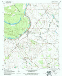
- Description
- GUNNISON, MS-AR HISTORICAL MAP GEOPDF 7.5X7.5 GRID 24000-SCALE 1969
- Survey Date
- 1969
- Print Date
- 1986
- Height In Inches
- 26.700
- Length In Inches
- 21.600
- Boundary Type
- Quadrangle
- Two Sided
- No
- Pieces
- 1
- Languages
- English
Related Items
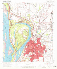
GREENVILLE, MS-AR HISTORICAL MAP GEOPDF 7.5X7.5 GRID 24000-SCALE 1970

GLEN ALLAN, MS-AR HISTORICAL MAP GEOPDF 7.5X7.5 GRID 24000-SCALE 1970