
Product Details
- Product Number
- 68278
- Scale
- 1:24,000
- Alternate ID
- TMN1892
- ISBN
- 978-0-607-27367-0
- Version Date
- 01/01/1982
- Regions
- MN
- Countries
- USA
- Media
- Paper
- Format
- Flat
- Digital Reproduction
- Yes
Additional Details
- Description
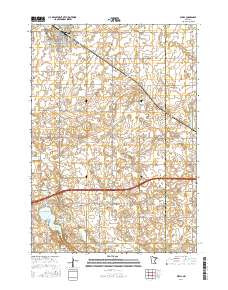
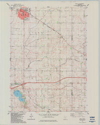
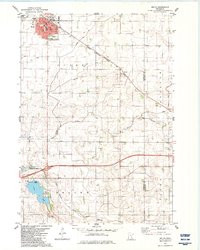
- WELLS, MN HISTORICAL MAP GEOPDF 7.5X7.5 GRID 24000-SCALE 1982
- Survey Date
- 1982
- Print Date
- 1983
- Height In Inches
- 27.400
- Length In Inches
- 21.900
- Boundary Type
- Quadrangle
- Two Sided
- No
- Pieces
- 1
- Languages
- English
Related Items
WELLS, MN HISTORICAL MAP GEOPDF 7.5X7.5 GRID 24000-SCALE 1982