

Product Details
- Product Number
- 59875
- Scale
- 1:100,000
- Alternate ID
- TKS1579
- ISBN
- 978-0-607-21675-2
- Version Date
- 01/01/1985
- Regions
- KS
- Countries
- USA
- Media
- Paper
- Format
- Flat
- Digital Reproduction
- Yes
Additional Details
- Description
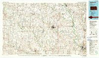
- WELLINGTON, KS HISTORICAL MAP GEOPDF 30X60 GRID 100000-SCALE 1985
- Survey Date
- 1985
- Print Date
- 1990
- Height In Inches
- 24.600
- Length In Inches
- 41.500
- Boundary Type
- Quadrangle
- Two Sided
- No
- Pieces
- 1
- Languages
- English
Related Items

WELLINGTON, KS HISTORICAL MAP GEOPDF 30X60 GRID 100000-SCALE 1985

1:100 000 SCALE TOPOGRAPHIC MAP OF CHEYENNE WELLS, COLORADO ; SURFACE MANAGEMENT STATUS
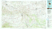
WELLINGTON, TX-OK HISTORICAL MAP GEOPDF 30X60 GRID 100000-SCALE 1986