Product Details
- Product Number
- 530594
- Series
- CA-96
- Scale
- 1:63,360
- Alternate ID
- CA-96
- ISBN
- 978-1-62811-455-3
- Version Date
- 01/01/2024
- Regions
- CA
- Countries
- USA
- Media
- Paper
- Format
- Bound
Additional Details
- Description
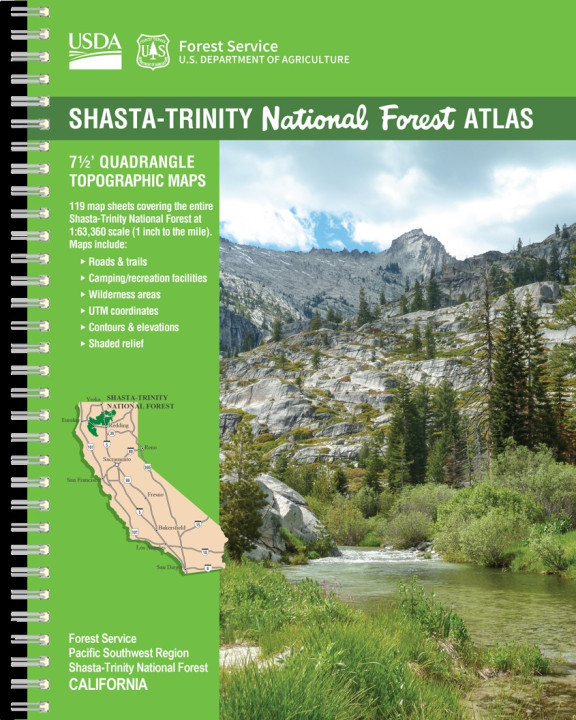
- SHASTA-TRINITY NATIONAL FOREST, CALIFORNIA - ATLAS - 7½ QUADRANGLE TOPOGRAPHIC MAPS - - National Forest Atlases are collections of topographic quadrangle maps at a scale of 1:63,360 (1 inch to the mile), featuring Forest Service recreation facilities and infrastructure. Map features include roads, trails, recreation sites, and land administration, as well as geographic features such as summits, canyons, lakes, streams, and springs. Terrain is depicted by shaded relief and/or contour lines. These 8.5" x 11" atlases are wire-bound and protected by a durable, water resistant cover.
- Height In Inches
- 11.000
- Length In Inches
- 8.500
- Two Sided
- Yes
- Pieces
- 1
- Languages
- English
Related Items


