

Product Details
- Product Number
- 516834
- Series
- GIP-164
- Scale
- NO SCALE
- Alternate ID
- GIP-164
- Version Date
- 01/01/2016
- Countries
- USA
- Media
- Paper
Additional Details
- Description
-
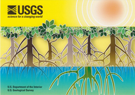
Mangrove postcard
General Information Product 164
By: Lianne C. Ball
Mangrove ecosystems protect vulnerable coastlines from storm effects, recycle nutrients, stabilize shorelines, improve water quality, and provide habitat for commercial and recreational fish species as well as for threatened and endangered wildlife. U.S. Geological Survey scientists conduct research on mangrove ecosystems to provide reliable scientific information about their ecology, productivity, hydrological processes, carbon storage stress response, and restoration success. The Mangrove Science Network is a collaboration of USGS scientists focused on working with natural resource managers to develop and conduct research to inform decisions on mangrove management and restoration.
Information about the Mangrove Science Network can be found at:
http://www.usgs.gov/ecosystems/environments/mangroves.html
Postcard
- Height In Inches
- 4.250
- Length In Inches
- 6.000
- Two Sided
- Yes
- Pieces
- 1


