
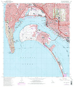

POINT LOMA SATELLITE IMAGE, CA
$8.00
Available

Product Details
- Product Number
- 47180
- Scale
- 1:24,000
- Alternate ID
- TCA4019
- ISBN
- 978-0-607-83287-7
- Version Date
- 01/01/1975
- Regions
- CA
- Countries
- USA
- Media
- Paper
- Format
- Flat
- Digital Reproduction
- Yes
Additional Details
- Description
- 2 SIDED SATELLITE IMAGE W/TOPO ON BACK
- Survey Date
- 1975
- Print Date
- 1988
- Height In Inches
- 26.900
- Length In Inches
- 21.300
- Boundary Type
- Quadrangle
- Two Sided
- No
- Pieces
- 1
- Languages
- English
Related Items


