

Product Details
- Product Number
- 41102
- Scale
- 1:24,000
- Alternate ID
- TAZ0657
- ISBN
- 978-0-607-06687-6
- Version Date
- 01/01/1971
- Regions
- AZ, NM
- Countries
- USA
- Media
- Paper
- Format
- Flat
- Digital Reproduction
- Yes
Additional Details
- Description
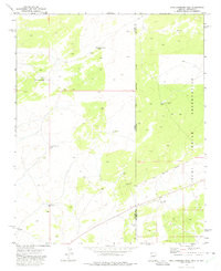
- HIGH LONESOME WELL, AZ-NM HISTORICAL MAP GEOPDF 7.5X7.5 GRID 24000-SCALE 1971
- Survey Date
- 1971
- Print Date
- 1975
- Height In Inches
- 27.000
- Length In Inches
- 22.000
- Boundary Type
- Quadrangle
- Two Sided
- No
- Pieces
- 1
- Languages
- English
Related Items

HIGH LONESOME WELL, AZ-NM TNM GEOSPATIAL PDF 7.5X7.5 GRID 24000-SCALE 2020

HIGH LONESOME WELL, AZ-NM HISTORICAL MAP GEOPDF 7.5X7.5 GRID 24000-SCALE 1971

HIGH LONESOME WELL, AZ-NM TNM GEOSPATIAL PDF 7.5X7.5 GRID 24000-SCALE 2016