

Product Details
- Product Number
- 40545
- Scale
- 1:24,000
- Alternate ID
- TAZ0096
- ISBN
- 978-0-607-06275-5
- Version Date
- 01/01/1979
- Regions
- AZ, NM
- Countries
- USA
- Media
- Paper
- Format
- Flat
- Digital Reproduction
- Yes
Additional Details
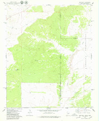
- Description
- BARTH WELL, AZ-NM HISTORICAL MAP GEOPDF 7.5X7.5 GRID 24000-SCALE 1979
- Survey Date
- 1979
- Print Date
- 1979
- Height In Inches
- 27.000
- Length In Inches
- 22.000
- Boundary Type
- Quadrangle
- Two Sided
- No
- Pieces
- 1
- Languages
- English
Related Items

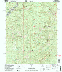
BLUE, AZ-NM HISTORICAL MAP GEOPDF 7.5X7.5 GRID 24000-SCALE 2005