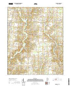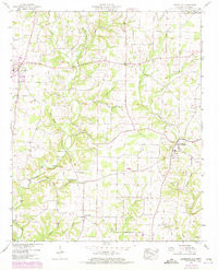

Product Details
- Product Number
- 38445
- Series
- TVA QUAD# 053-NE
- Scale
- 1:24,000
- Alternate ID
- TAL0533
- ISBN
- 978-0-607-04869-8
- Version Date
- 01/01/1972
- Regions
- AL, TN
- Countries
- USA
- Media
- Paper
- Format
- Flat
- Digital Reproduction
- Yes
Additional Details
- Description
- LEXINGTON, AL-TN HISTORICAL MAP GEOPDF 7.5X7.5 GRID 24000-SCALE 1952
- Survey Date
- 1952
- Print Date
- 1973
- Height In Inches
- 26.800
- Length In Inches
- 21.600
- Boundary Type
- Quadrangle
- Two Sided
- No
- Pieces
- 1
- Languages
- English
Related Items