
GEOLOGIC MAP FUNERAL MOUNTAINS, CA
Product Details
- Product Number
- 367457
- Series
- SIM-3151
- Scale
- 1:50,000
- Alternate ID
- SIM3151
- ISBN
- 978-1-4113-3313-0
- Authors
- C J FRIDRICH
- Version Date
- 01/01/2012
- Regions
- CA, NV
- Countries
- USA
- Media
- Paper
- Format
- Flat
Additional Details
- Description
-
Abstract
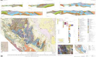
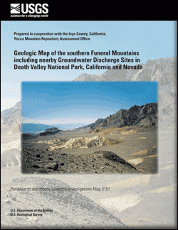
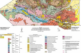
This 1:50,000-scale geologic map covers the southern part of the Funeral Mountains, and adjoining parts of four structural basins—Furnace Creek, Amargosa Valley, Opera House, and central Death Valley—in California and Nevada. It extends over three full 7.5-minute quadrangles, and parts of eleven others—an area of about 1,000 square kilometers (km2). The boundaries of this map were drawn to include all of the known proximal hydrogeologic features that may affect the flow of groundwater that discharges from springs of the Furnace Creek basin, in the west-central part of the map. These springs provide the main potable water supply for Death Valley National Park.
Major hydrogeologic features shown on this map include: (1) springs of the Furnace Creek basin, (2) a large Pleistocene groundwater discharge mound in the northeastern part of the map, (3) the exposed extent of limestones and dolomites that constitute the Paleozoic carbonate aquifer, and (4) the exposed extent of the alluvial conglomerates that constitute the Funeral Formation aquifer.
- Survey Date
- 2012
- Print Date
- 2012
- Height In Inches
- 39.030
- Length In Inches
- 64.280
- Two Sided
- No
- Pieces
- 2
- Languages
- English


