
Product Details
- Product Number
- 36317
- Scale
- 1:63,360
- Alternate ID
- TAK2144
- ISBN
- 978-0-607-03053-2
- Version Date
- 01/01/1955
- Regions
- AK
- Countries
- USA
- Media
- Paper
- Format
- Flat
- Digital Reproduction
- Yes
Additional Details
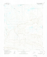
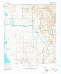
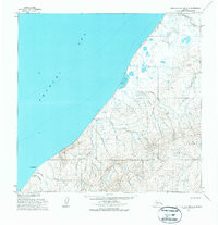
- Description
- POINT LAY A-3 AND A-4, AK HISTORICAL MAP GEOPDF 15X15 GRID 63360-SCALE 1955
- Survey Date
- 1955
- Print Date
- 1971
- Height In Inches
- 22.000
- Length In Inches
- 18.000
- Boundary Type
- Quadrangle
- Two Sided
- No
- Pieces
- 1
- Languages
- English
Related Items