

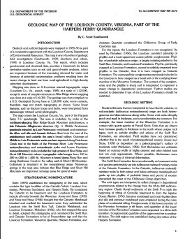
GEOLOGIC MAP OF THE LOUDOUN, VA
$9.00
Available

Product Details
- Product Number
- 31814
- Series
- MF-2173
- Scale
- 1:24,000
- Alternate ID
- GMF2173D
- ISBN
- 978-0-607-82127-7
- Authors
- SOUTHWORTH, C. S.
- Version Date
- 01/01/1991
- Regions
- VA
- Countries
- USA
- Media
- Paper
- Format
- Flat
Additional Details
- Description
- Geologic map of the Loudoun County, Virginia, part of the Harpers Ferry Quadrangle
- Survey Date
- 1990
- Print Date
- 1991
- Boundary Type
- Quadrangle
- Two Sided
- No
- Pieces
- 1
- Languages
- English
Related Items

Geologic map of the Bracey 7.5-minute Quadrangle, Mecklenburg County, Virginia, and Warren County, North Carolina
Geologic map of the Gasburg 7.5-minute Quadrangle, Brunswick County, Virginia, and Warren, Northhampton, and Halifax counties, North Carolina
Geologic map of the Devils Fork Roadless Area, Scott County, Virginia