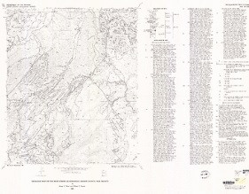
Product Details
- Product Number
- 31180
- Series
- MF-1666
- Scale
- 1:24,000
- Alternate ID
- GMF1666D
- ISBN
- 978-0-607-81501-6
- Authors
- RATTE, J. C.
- Version Date
- 01/01/1983
- Regions
- NM
- Countries
- USA
- Media
- Paper
- Format
- Folded
Additional Details
- Description
- 1 SHEET
- Survey Date
- 1983
- Print Date
- 1983
- Height In Inches
- 30.040
- Length In Inches
- 39.040
- Boundary Type
- Quadrangle
- Two Sided
- No
- Pieces
- 1
- Languages
- English
Related Items


