


Product Details
- Product Number
- 30561
- Series
- MF-1344-D
- Scale
- 1:100,000
- Alternate ID
- GMF1344DD
- ISBN
- 978-0-607-80914-5
- Authors
- WATTS, K. C.
- Version Date
- 01/01/1983
- Regions
- NM
- Countries
- USA
- Media
- Paper
- Format
- Folded
Additional Details
- Description
- 1 SHEET
- Survey Date
- 1983
- Print Date
- 1983
- Boundary Type
- Quadrangle
- Two Sided
- No
- Pieces
- 1
- Languages
- English
Related Items
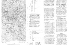
Mineral resource potential map of the Hells Hole further planning area (RARE II), Greenlee County, Arizona, and Grant County, New Mexico
Geophysical surveys of the Hells Hole Further Planning Area (RARE II), Greenlee County, Arizona, and Grant County, New Mexico
Geologic map of the Hells Hole further planning area (RARE II) Greenlee County, Arizona, and Grant County, New Mexico