

Product Details
- Product Number
- 26796
- Series
- I-858-B
- Scale
- 1:100,000
- Alternate ID
- GI0858BD
- ISBN
- 978-0-607-77832-8
- Authors
- GEOLOGICAL SURVEY (U.S.)
- Version Date
- 01/01/1974
- Regions
- DC
- Countries
- USA
- Media
- Paper
- Format
- Folded
Additional Details
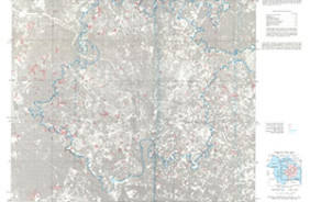
- Description
- Annotated orthophoto map, 1970, Washington urban area, District of Columbia, Maryland, and Virginia
- Survey Date
- 1974
- Print Date
- 1974
- Boundary Type
- Quadrangle
- Two Sided
- No
- Pieces
- 1
- Languages
- English
Related Items

Census tracts, 1970, Washington urban area, District of Columbia, Maryland, and Virginia
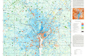
Land Use Change Map, 1970-1972, Washington Urban Area, D.C., Maryland, and Virginia
Land Cover Map from Landsat, 1973, with Place Names, Washington Urban Area, D.C., MD, and Virginia