

Product Details
- Product Number
- 26508
- Series
- I-766-L
- Scale
- 1:24,000
- Alternate ID
- GI0766LD
- ISBN
- 978-0-607-77549-5
- Authors
- MOWER, R. W.
- Version Date
- 01/01/1973
- Regions
- UT
- Countries
- USA
- Media
- Paper
- Format
- Folded
Additional Details
- Description
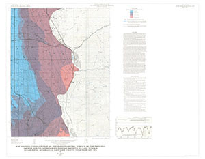
- Map showing configuration of the potentiometric surface of the principal aquifer and its approximate position relative to land surface, Sugar House Quadrangle, Salt Lake County, Utah, February 1972
- Survey Date
- 1972
- Print Date
- 1973
- Boundary Type
- Quadrangle
- Two Sided
- No
- Pieces
- 1
- Languages
- English
Related Items

Map showing depth to top of the principal aquifer, Sugar House Quadrangle, Salt Lake County, Utah, February l972
Map showing thickness of saturated Quaternary deposits, Sugar House Quadrangle, Salt Lake County, Utah, February 1972
Computer composite map showing inferred relative stability of the land surface during earthquakes, Sugar House Quadrangle, Salt Lake County, Utah