

Product Details
- Product Number
- 24329
- Series
- GQ-1248
- Scale
- 1:24,000
- Alternate ID
- GGQ1248D
- ISBN
- 978-0-607-75276-2
- Authors
- TAYLOR, RICHARD B.
- Version Date
- 01/01/1976
- Regions
- CO
- Countries
- USA
- Media
- Paper
- Format
- Flat
- Digital Reproduction
- Yes
Additional Details
- Description
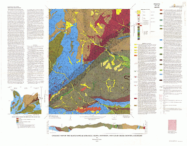
- Geologic map of the Black Hawk quadrangle, Gilpin, Jefferson and Clear Creek Counties, Colorado
- Survey Date
- 1976
- Print Date
- 1976
- Height In Inches
- 42.000
- Length In Inches
- 54.030
- Boundary Type
- Quadrangle
- Two Sided
- No
- Pieces
- 1
- Languages
- English
Related Items

Geologic map of the Jefferson quadrangle, Park and Summit counties, Colorado
Geologic map of the Tungsten quadrangle, Boulder, Gilpin, and Jefferson Counties, Colorado
Geologic map of the Arvada quadrangle, Adams, Denver, and Jefferson Counties, Colorado