Product Details
- Product Number
- 24241
- Series
- GQ-1160
- Scale
- 1:24,000
- Alternate ID
- GGQ1160D
- ISBN
- 978-0-607-75188-8
- Authors
- SCHROEDER, MARVIN L.
- Version Date
- 01/01/1974
- Regions
- WY
- Countries
- USA
- Media
- Paper
- Format
- Flat
- Digital Reproduction
- Yes
Additional Details
- Description
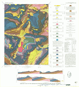
- Geologic map of the Camp Davis quadrangle, Teton County, Wyoming
- Survey Date
- 1974
- Print Date
- 1975
- Boundary Type
- Quadrangle
- Two Sided
- No
- Pieces
- 1
- Languages
- English
Related Items