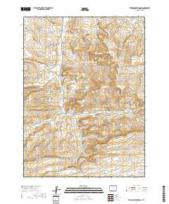
Product Details
- Product Number
- 24137
- Series
- GQ-1056
- Scale
- 1:24,000
- Alternate ID
- GGQ1056D
- ISBN
- 978-0-607-75084-3
- Authors
- ROEHLER, HENRY W.
- Version Date
- 01/01/1973
- Regions
- WY
- Countries
- USA
- Media
- Paper
- Format
- Folded
Additional Details
- Description
- Geologic map of the Erickson-Kent Ranch quadrangle, Sweetwater County, Wyoming
- Survey Date
- 1970
- Print Date
- 1973
- Boundary Type
- Quadrangle
- Two Sided
- No
- Pieces
- 1
- Languages
- English
Related Items
Geologic map of the Mud Springs Ranch quadrangle, Sweetwater County, Wyoming