

Product Details
- Product Number
- 21742
- Series
- COAL-73
- Scale
- 1:24,000
- Alternate ID
- GC0073D
- ISBN
- 978-0-607-75915-0
- Authors
- SANDERS, ROBERT B.
- Version Date
- 01/01/1975
- Regions
- WY
- Countries
- USA
- Media
- Paper
- Format
- Flat
- Digital Reproduction
- Yes
Additional Details
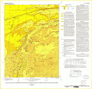
- Description
- Geologic map and coal resources of the Creston Junction Quadrangle, Carbon and Sweetwater counties, Wyoming
- Survey Date
- 1975
- Print Date
- 1975
- Height In Inches
- 28.110
- Length In Inches
- 28.930
- Boundary Type
- Quadrangle
- Two Sided
- No
- Pieces
- 1
- Languages
- English
Related Items

Geologic map and coal resources of the Riner Quadrangle, Carbon and Sweetwater counties, Wyoming
Geologic map and coal resources of the Pleasantdale Quadrangle, Campbell County, Wyoming
Geologic map and coal resources of The Gap SW Quadrangle, Campbell County, Wyoming