Product Details
- Product Number
- 208544
- Series
- SIR-2008-5131
- Scale
- NO SCALE
- Alternate ID
- SIR2008-5131
- ISBN
- 978-1-4113-2252-3
- Authors
- MICHAEL PANTEA P
- Version Date
- 01/01/2008
- Regions
- TX
- Countries
- USA
- Media
- Electronic (Physical)
- Format
- CD-ROM
Additional Details
- Description
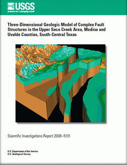
- Three-Dimensional Geologic Model of Complex Fault Structures in the Upper Seco Creek Area, Medina and Uvalde Counties, South-Central Texas
- Survey Date
- 2008
- Print Date
- 2008
- Height In Inches
- 5.000
- Width In Inches
- 0.250
- Length In Inches
- 5.500
- Two Sided
- No
- Pieces
- 1
- Languages
- English
Related Items


