

Product Details
- Product Number
- 208484
- Series
- SIM-3010
- Scale
- 1:24,000
- Alternate ID
- SIM3010
- ISBN
- 978-1-4113-2129-8
- Authors
- W A BRADDOCK
- Version Date
- 01/01/2008
- Regions
- CO
- Countries
- USA
- Media
- Paper
- Format
- Folded
Additional Details
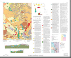
- Description
- Geologic Map of the Clark Peak Quadrangle, Jackson and Larimer Counties, Colorado
- Survey Date
- 2008
- Print Date
- 2008
- Height In Inches
- 36.000
- Length In Inches
- 43.000
- Boundary Type
- Quadrangle
- Two Sided
- No
- Pieces
- 1
- Languages
- English
Related Items

Geologic Map of the Woodland quadrangle, Clark and Cowlitz Counties, Washington

Geologic map of the Eaton Reservoir Quadrangle, Larimer County, Colorado and Albany County, Wyoming

Geologic map of the Ariel quadrangle, Clark and Cowlitz Counties, Washington