

Product Details
- Product Number
- 207636
- Series
- AK-3
- Scale
- 1:63,360
- Alternate ID
- AK-3
- ISBN
- 978-1-59351-935-3
- Version Date
- 01/01/2018
- Regions
- AK
- Countries
- USA
- Media
- Plastic
- Format
- Folded
Additional Details
- Description
-
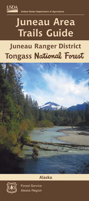
Explore scenic Juneau Alaska, tucked between the imposing cost range icefield and the island studded waters of the northern Alexander Archipelago. This trail map features trails and other recreation opportunities accessed from Alaska's capital city. The map includes detailed information for Forest Service, State, and City/Borough maintained trails. The map portrays physical features such as streams, lakes, glaciers and landscape topography; depicted through shaded relief and elevation contours. The map also features local roads and communities, and private and state land ownership.
For more information on how to prepare for and enjoy a safe and rewarding visit on federal recreation lands, please visit www.fs.fed.us/recreation/safety
This map is a companion map to the Forest Motor Vehicle Use Map (MVUM). An MVUM is a regulatory map that identifies the roads, trails, and areas where motor vehicle use is allowed on Forest Service lands. A printed copy of the district MVUM is available FREE from local Forest Service offices, and the current downloadable copy is available FREE from www.fs.fed.us/recreation/programs/ohv/ohv_maps.shtml
- Survey Date
- 2018
- Print Date
- 2018
- Height In Inches
- 52.000
- Length In Inches
- 36.000
- Boundary Type
- Quadrangle
- Two Sided
- Yes
- Pieces
- 1
- Languages
- English
Related Items
TONGASS NATIONAL FOREST - JUNEAU RANGER DISTRICT - JUNEAU ICEFIELD, ALASKA

