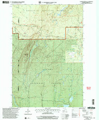

Product Details
- Product Number
- 115917
- Scale
- 1:24,000
- Alternate ID
- -
- ISBN
- 978-0-607-89280-2
- Version Date
- 01/01/2001
- Regions
- MI
- Countries
- USA
- Media
- Paper
- Format
- Flat
- Digital Reproduction
- Yes
Additional Details
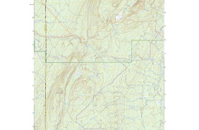
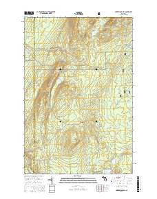
- Description
- 12/12/2005 Map #115916, Tiebel Creek, MI 1:24 and Map #115917, Underwood Hill, MI 1:24 supersede Map #65666, Tiebel Creek, MI 1:25 Scale.
- Survey Date
- 2001
- Print Date
- 2004
- Height In Inches
- 26.800
- Length In Inches
- 22.100
- Boundary Type
- Quadrangle
- Two Sided
- No
- Pieces
- 1
- Languages
- English
Related Items

UNDERWOOD HILL, MI HISTORICAL MAP GEOPDF 7.5X7.5 GRID 24000-SCALE 2001