
PHOENIX, DEPTH WATER WELLS, AZ

Map showing depth to water in wells in the Phoenix area, Arizona, 1972
PHOENIX - VEGETATION, AZ
Map showing vegetation in the Phoenix area, Arizona
FLOOD HAZARDS MAP OF MARANA QUAD, AZ
Delineation of Flood Hazards in the Marana Quadrangle, Pima County, Arizona
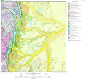
GILLETTE AREA, GROUND WATER, WY
Maps showing occurrence of ground water in the Gillette area, Campbell County, Wyoming
WYOMING, NE & SE MT STREAMFLOW, WY
Map showing streamflow volumes in northeastern Wyoming and southeastern Montana
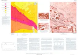
ZIPAQUIRA, GEOLOGIC MAP
Geologic map of the Zipaquira Quadrangle (K-11), Colombia
GILLETTE AREA, COAL RESOURCES, WY
Coal resources of the Gillette area, Wyoming
COMP EARTH MAT W-C KING CNTY, WA
Map showing relative compressibility of earth materials in part of west-central King County, Washington
GEOL MAP BOULDER-FORT COLLINS-GREELEY
Geologic map of the Boulder-Fort Collins-Greeley Area, Colorado
WTR QUAL IN SOUTH HOOD CANAL, WA
Relative susceptibility of lakes to water-quality degradation in the southern Hood Canal area, Washington
PUB REC IN SO HOOD CANAL, WA
Public recreation resources and facilities in the southern Hood Canal area, Washington
FRONT RANGE URBAN CORR - LAKES, CO
Lakes in the Boulder-Fort Collins-Greeley area, Front Range urban corridor, Colorado
DENVER AREA - HYDRO DATA AVAIL, CO
Map showing availability of hydrologic data published by the U.S. Environmental Data Service and by the U.S. Geological Survey and cooperative agencies, greater Denver area, Front Range Urban Corridor, Colorado
DENVER AREA - VEGETATION, CO
Vegetation map of the greater Denver area, Front Range urban corridor, Colorado
DENVER GREATER AREA - LAKES IN, CO
Lakes in the greater Denver area, Front Range Urban Corridor