
WASHINGTON EAST, DC-MD

WASHINGTON EAST, DC-MD HISTORICAL MAP GEOPDF 7.5X7.5 GRID 24000-SCALE 1965
NUTRIENT CONCENTRATIONS NORTHEASTERN US
National Water-Quality Assessment Program <p> <p> Nutrient Concentrations and Loads in the Northeastern United States—Status and Trends, 1975–2003 <p>
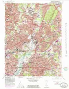
WASHINGTON WEST, DC-MD-VA
WASHINGTON WEST, DC-MD-VA TNM GEOSPATIAL PDF 7.5X7.5 GRID 24000-SCALE 2016
CONFIGURATION OF BEDROCK SURFACE, DC
Configuration of the bedrock surface of the District of Columbia and vicinity
WASHINGTON, DC'S VANISHING
Washington, D.C.'s vanishing springs and waterways
MARYLAND/DC/VIRGINA/W VIRGINA, DC
Natural gamma aeroradioactivity of the District of Columbia and parts of Maryland, Virginia, and West Virginia
WASHINGTON WEST, DC
Geologic map of the Washington West quadrangle, District of Columbia, Montgomery and Prince Georges counties, Maryland, and Arlington and Fairfax counties, Virginia
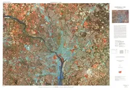
LAND COVER MAP LANDSAT 1973, DC AREA
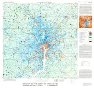
Land Cover Map from Landsat, 1973, with Place Names, Washington Urban Area, D.C., MD, and Virginia
ANACOSTIA, DC
ANACOSTIA, DC
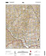
WASHINGTON EAST, DC
WASHINGTON EAST, DC
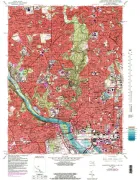
WASHINGTON WEST, DC
WASHINGTON WEST, DC
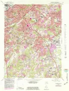
WASHINGTON DC AREA, DC
WASHINGTON D.C. AREA, DC
WATER QUALITY ROCK CREEK, WASHINGTON DC
Water quality, sediment quality, and stream-channel classification of Rock Creek, Washington, D.C., 1999-2000
ORGANIC COMPOUNDS POTOMAC RIVER, WASH DC
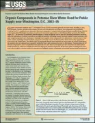
Organic Compounds in Potomac River Water Used for Public Supply near Washington, D.C., 2003-05
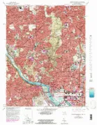
ALEXANDRIA, VA-DC-MD
ALEXANDRIA, VA-DC-MD HISTORICAL MAP GEOPDF 7.5X7.5 GRID 24000-SCALE 1951