

Product Details
- Product Number
- 113918
- Series
- PP-1386-J
- Scale
- NO SCALE
- Alternate ID
- 16-1386J
- ISBN
- 978-0-607-98290-9
- Authors
- EDITED, WILLIAMS, RICHARD S JR
- Version Date
- 01/01/2002
- Media
- Paper
- Format
- Bound
Additional Details
- Description
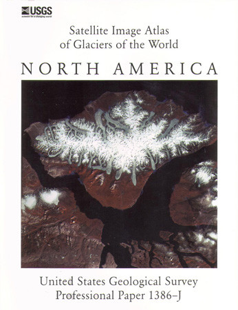
- Landsat images, together with aerial photographs, selected maps, and other data, have been used to provide a baseline of mid-1970's glacierization in Canada, the conterminous United States, and México (excludes Alaska) color image of ice fields, outlet glaciers, valley glaciers, and cirque glaciers on Bylot Island, as well as ice caps, ice fields, outlet, and valley glaciers on the Borden Peninsula and northern Baffin Island, Nunavut, Canada.
- Survey Date
- 2002
- Print Date
- 2002
- Height In Inches
- 11.000
- Length In Inches
- 9.000
- Two Sided
- Yes
- Pieces
- 1
- Languages
- English
Related Items

Glaciers of North America-Glaciers of Alaska, Satellite Image Atlas of Glaciers of the World-USGS Numbered Series

Glaciers of Europe, Satellite Image Atlas of Glaciers of the World-USGS Numbered Series

Glaciers of Greenland; Satellite Image Atlas of Glaciers of the World-USGS Numbered Series

Glaciers of Middle East, Satellite Image Atlas of Glaciers of the World-USGS Numbered Series